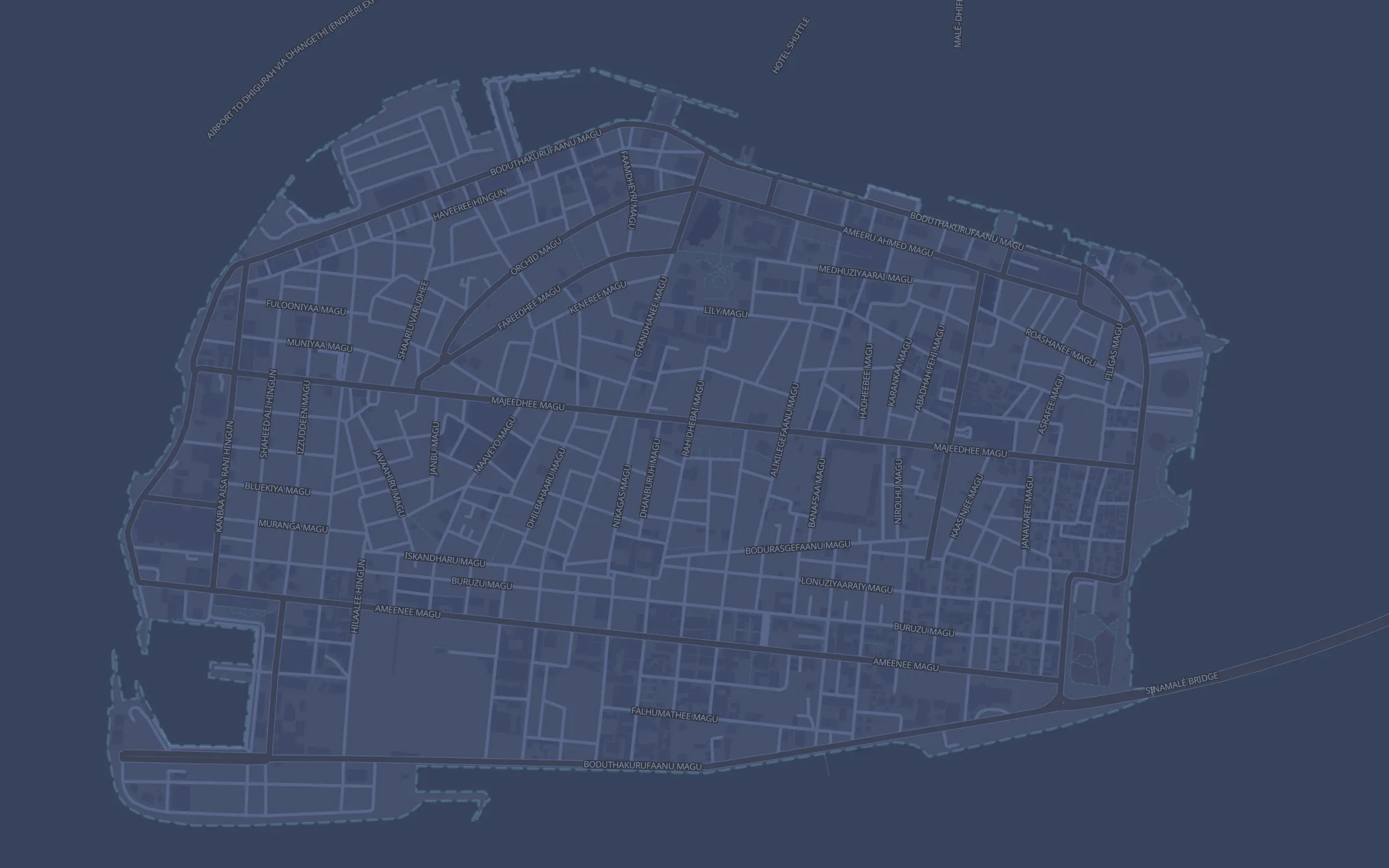
Every vehicle, live on your island.
Cars, vans, pickups, buses and bikes on a street map of Malé, Hulhumalé or Maafushi. Every trip named by the street and the landmark, speeds in km/h, and alerts in your Telegram group.
per vehicle
Streets © OpenStreetMap contributors · OpenFreeMap. The vehicles are an animation.
Locked to your island, in km/h.
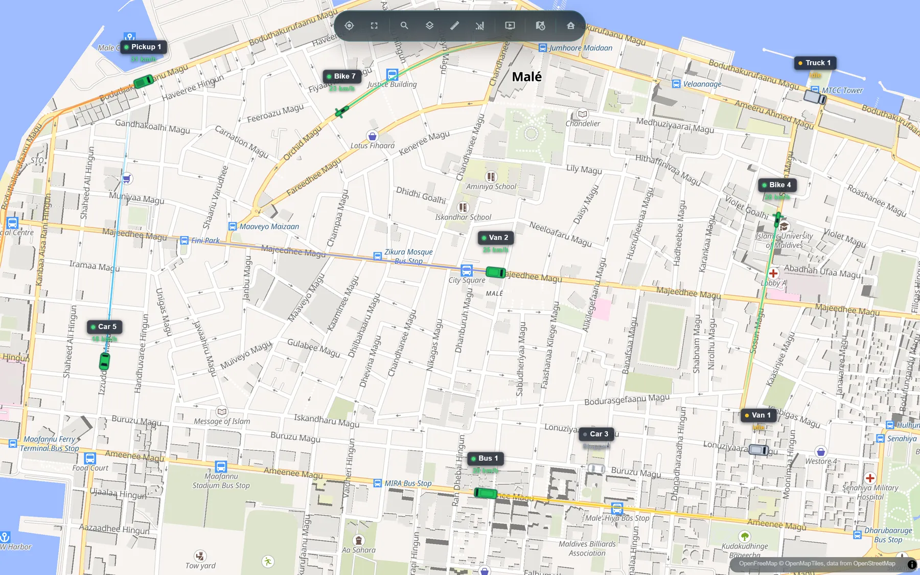
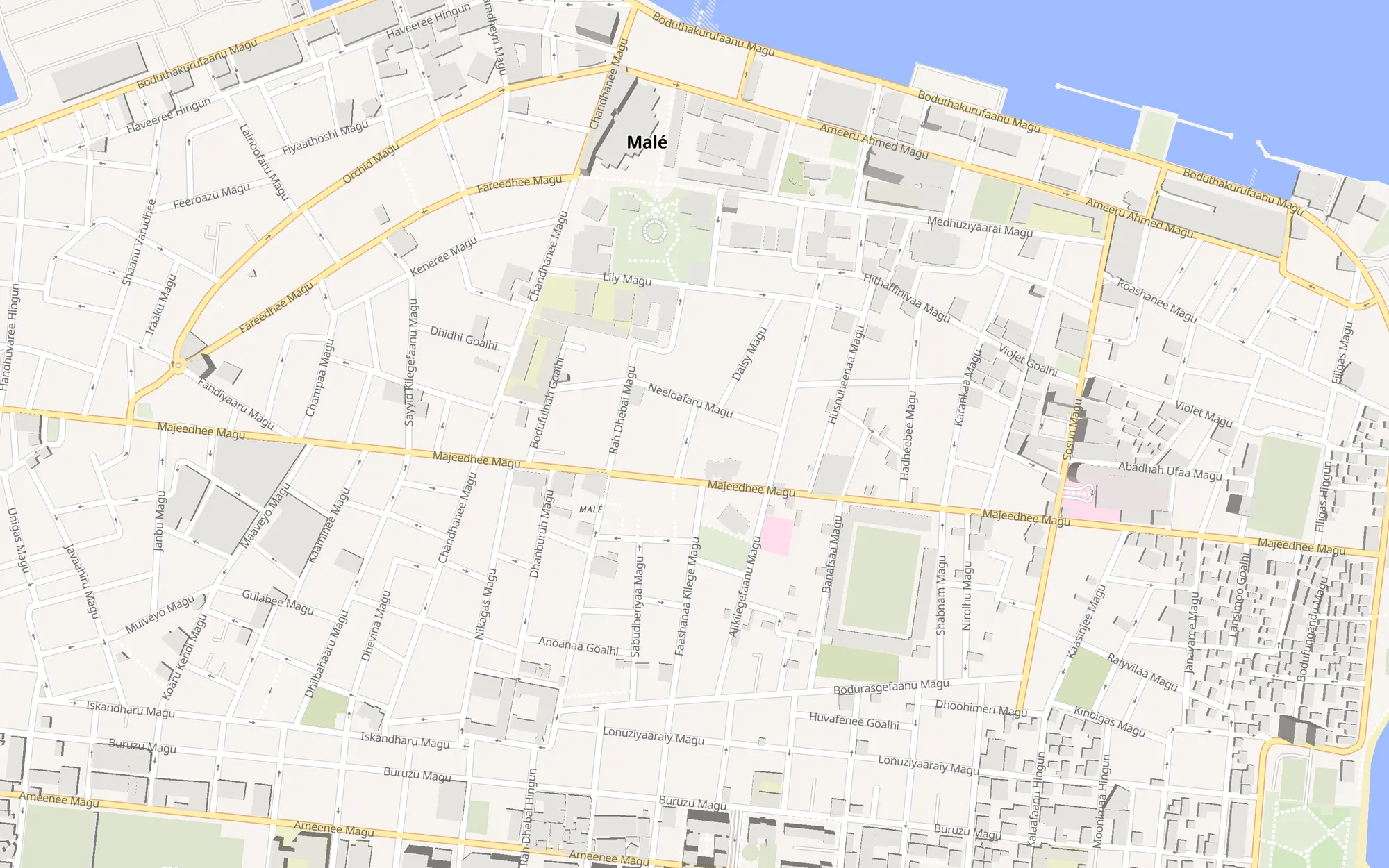
A vehicle company's map opens on a street map of its island and stays there: no panning out over the atolls, no knots, no harbours. Satellite imagery is one click away. Every vehicle has its own icon, turns with the road and says how fast it is going.
- Street map by default, satellite one click away
- km/h and km in the app, the reports and the alerts
- Tap a vehicle: where it is, where it set off from, how fast and for how long
- Works on any phone or computer, nothing to install
Screens from the app. The vehicles are examples; the streets and place names are real.
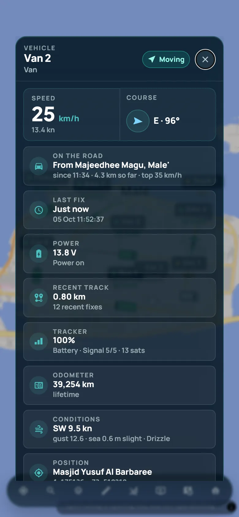
Named by the street and the landmark.
On an island every trip starts and ends in the same town, so "Malé → Malé" would say nothing. Dhuveli names each end the way a driver would: the depot or parking you drew, the landmark the vehicle stopped at, or the street it is on.
| Vehicle | Trip | Left | Took | Distance | Top |
|---|---|---|---|---|---|
| Bus 1 | Majeedhee Magu, Male' → Majeediyya School | 08:12 | 7 min | 1.3 km | 32 km/h |
| Van 2 | Depot → STO People's Choice Supermart | 09:40 | 11 min | 2.1 km | 29 km/h |
| Pickup 1 | MTCC → Boduthakurufaanu Magu, Male' | 10:05 | 6 min | 1.6 km | 46 km/h |
Example trips. The names are the ones Dhuveli gives these places.
Speeding, arrivals and silence, in Telegram.
Set a speed limit in km/h for each vehicle, draw your depot and parking, and your group hears when a vehicle leaves, arrives, stops, goes over the limit or stops reporting.
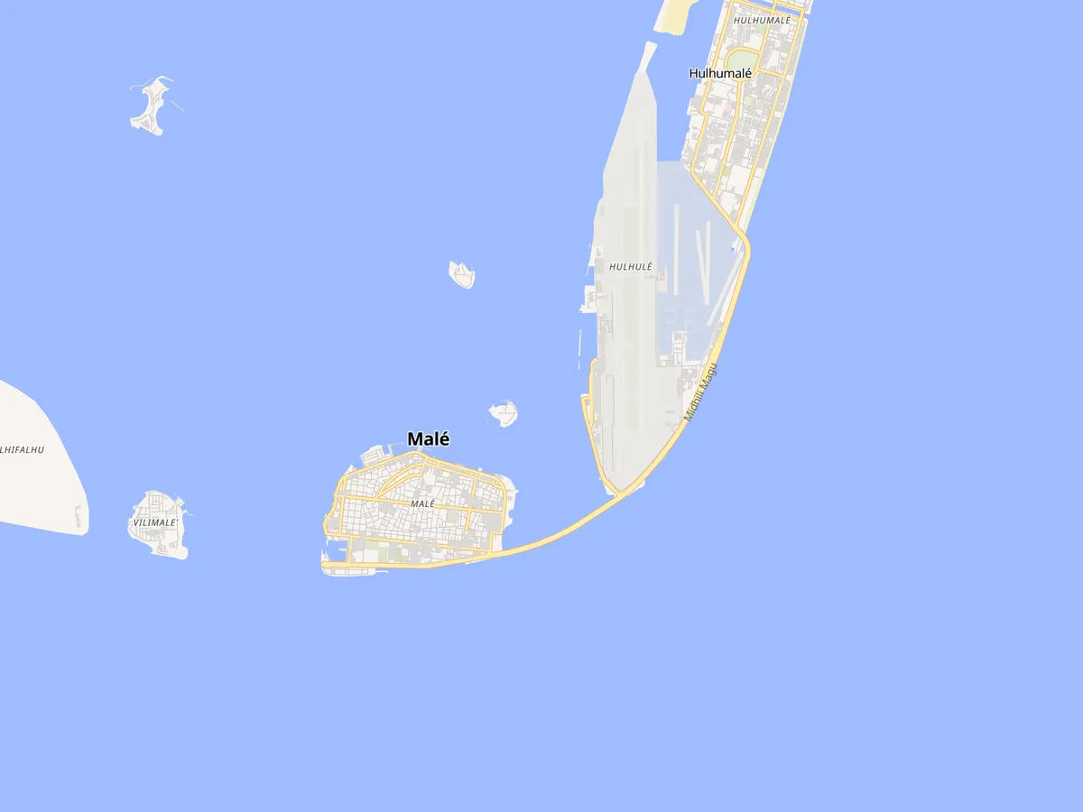
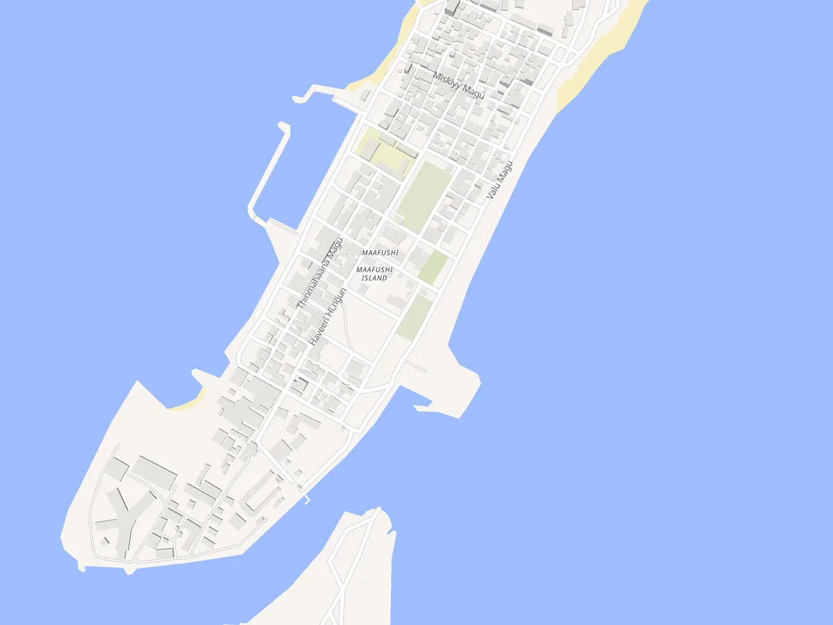
Greater Malé and Maafushi, today.
Each company's map is locked to its island, with its streets and landmarks loaded from OpenStreetMap. Driving somewhere else? Tell us the island; we add them as customers need them.
From tracker to live map.
-
1
Fit a tracker
A small GPS tracker goes on the vehicle's battery, out of sight. Already have one? Over 2,000 models work.
-
2
Drive as usual
It reports position, speed and heading as often as every ten seconds over the mobile network.
-
3
Watch it all
The live map, every trip, the reports and the alerts, for everyone on your team who needs them.
a year, per vehicle
- Live map on your island's streets
- Trip history and replay
- Trip log and speed reports, CSV and PDF
- Speed limits in km/h
- Telegram alerts
- Depots, parking and zones
- Logins for your whole team
Tracker and fitting quoted separately. Prices in Maldivian Rufiyaa, billed yearly.
What people ask about vehicles.
Which islands does it cover?
Greater Malé (Malé, Hulhumalé, Villimalé and Hulhulé) and Maafushi. We add islands as customers need them, so tell us where your vehicles drive.
How often does a vehicle's position update?
As often as every ten seconds, depending on the tracker and your plan. A tracker out of signal keeps its positions and sends them when it is back.
How are trips named?
By where the vehicle stopped: a depot or parking area you drew, a building-sized landmark such as a school, a hospital or a ferry terminal, or else the street, as "Majeedhee Magu, Male'". Street and landmark names come from OpenStreetMap.
Can I set a speed limit?
Yes, for each vehicle, in km/h. Every trip records the time spent over it, and your Telegram group hears when it is broken.
Do drivers or managers need an app?
No. Dhuveli runs in the browser on any phone, tablet or computer. Add it to the home screen and it behaves like an app.
What does it cost?
Rf 2,500 a year per vehicle, with everything on this page. The tracker and fitting are quoted separately.
Put your vehicles on the map.
Tell us how many vehicles and which island, and we will set up your workspace.